Normal (+/- 1.0)
+ Rapid (+/- 1.5)

Go to Step 6
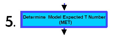
You believe the storm is developing rapidly. 24 hours ago, the Final T# was 2.0. For "rapid development", you add 1.5 to the Final T# from 24 hours ago. This would give you a Model Expected T Number (MET) of 3.5.
You believe the storm is weaking slowly. 24 hours ago, the Final T# was 5.5. For "slow weakening", you subtract 0.5 from the Final T# from 24 hours ago. This would give you a Model Expected T Number (MET) of 5.0.
You believe the storm is steady - neither developing nor weakening. 24 hours ago, the Final T# was 3.0. For "steady state", you add 0.0 to the Final T# from 24 hours ago. This would give you a Model Expected T Number (MET) of 3.0.
You believe the storm is developing slowly. 24 hours ago, the Final T# was 2.0. For "slow development", you add 0.5 to the Final T# from 24 hours ago. This would give you a Model Expected T Number (MET) of 2.5.
You believe the storm is weakening rapidly. 24 hours ago, the Final T# was 4.0. For "rapid weakening", you subtract 1.5 from the Final T# from 24 hours ago. This would give you a Model Expected T Number (MET) of 2.5.